
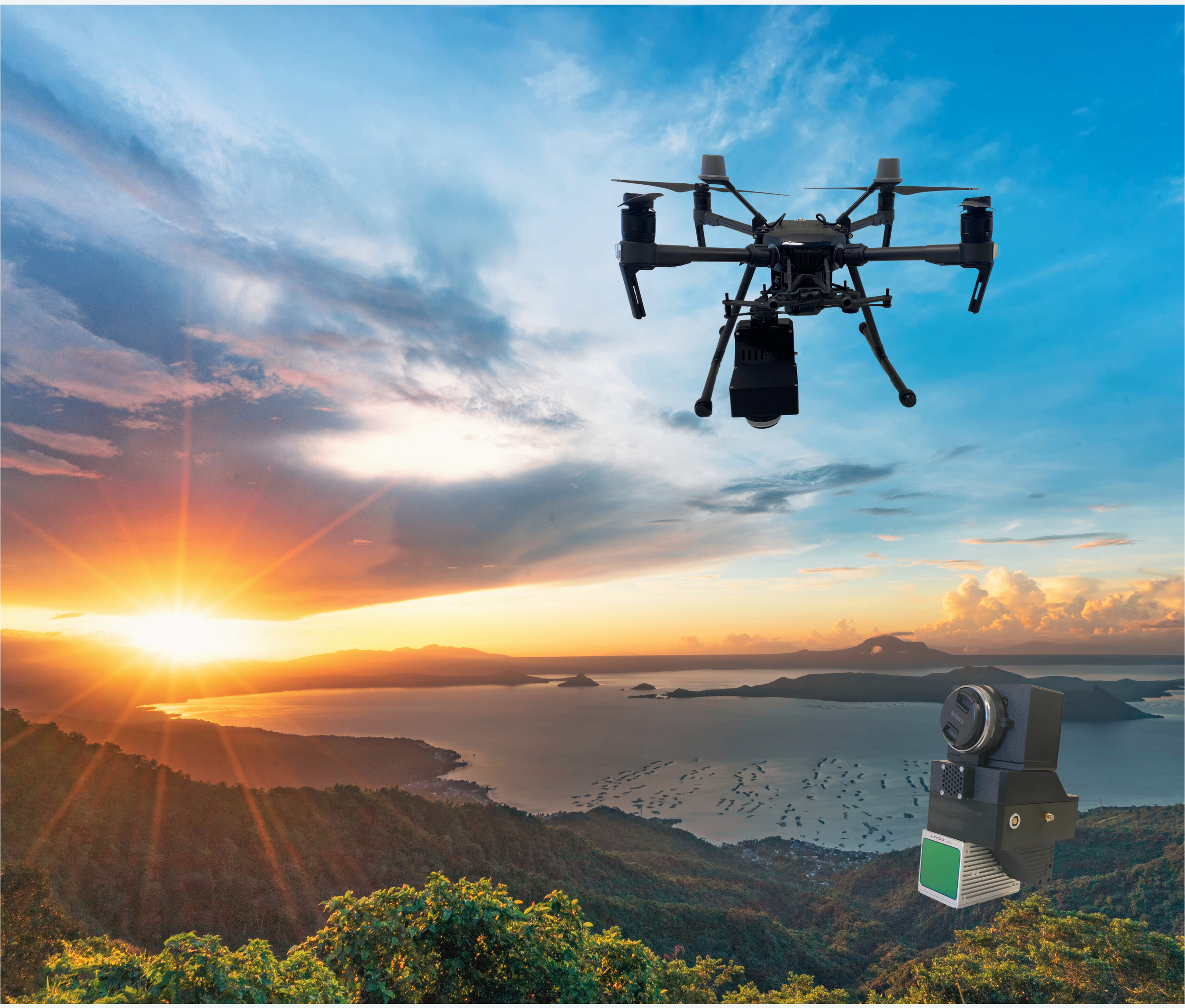
UAV-based Mobile Mapping System
UAV-based SpaceScanX mobile mapping system is an advanced aerial 3D mapping and modeling Solution. Integrating the lightweight and high-precision laser scanner, HD aerial survey camera, inertial navigation systems, and onboard computer systems. It is adaptable for using with DJI Matrice series platforms. The UAV-based SpaceScanX MMS generates color 3D point clouds using high-precision point clouds, high-resolution images, and precise position data. Combined with data processing software, the UAV-based SpaceScanX MMS covers a wide range of application scenarios including large scale environment mapping, powerline surveying, forestry surveying, mine surveying.
FEATURES
Rich application scenarios
real-time high-precision mapping for smart cities, powerline surveying, forestry surveying, mine surveying.
27 megapixel camera
The built-in high-resolution camera captures 27-megapixel images for generating high-quality true-color point clouds and orthophotos for photogrammetry.
Easy to operate
Flexible, simple operation, lightweight, and easy to get start .
High efficiency and precision
Large-scale environmental mapping with centimeter-level accuracy in a single operation.
SPECIFICATIONS
Laser Scanners
Range Accuracy
±3 cm
3D Lidar Data Points Generated
~200,000 points per second